Swimming at Mangawhai
Patrols, tides,
water quality
Mangawhai has an open surf beach and a sheltered estuary, and they behave very differently. This page sets out where lifeguards patrol, when, and where to check conditions on the day. It links to the live sources rather than repeating them, because tides, surf and water quality change by the hour.
Every fact links to where it came from. Checked 5 October 2026.
The short answer
Swim between the red and yellow flags at Mangawhai Heads Beach, near the surf club on Wintle Street. Volunteer lifeguards patrol weekends and some public holidays from 24 October 2026 to 29 March 2027, with paid Regional Guards on weekdays from 14 December 2026 to 12 February 2027. The estuary is usually calmer but has no lifeguards and strong tidal currents near the channel. Check Safeswim before you go, and avoid swimming for 2 to 3 days after heavy rain. In an emergency, call 111 and ask for the police.
Check before you go
- Safeswim: Mangawhai Heads →Live water quality pin, lifeguard patrol status, hazards, tides and weather for the surf beach.
- Safeswim: Mangawhai Heads Estuary →Live water quality pin and hazards for the estuary. There is no lifeguard service here.
- LAWA: Mangawhai Heads Beach Surf Club →Predicted water quality, this season's sample results and the long-term grade for the surf beach.
- LAWA: Mangawhai Heads Estuary Motor Camp →Predicted water quality and sample results for the estuary monitoring site.
- Surf Life Saving NZ: Mangawhai Heads SLSC →Published patrol dates and hours for the season.
- MetService: Mangawhai Heads tides →High and low tide times and heights.
- MetService: Mangawhai Heads surf →Surf, swell, wind and sea temperature forecast.
- Northland Regional Council tide tables →The 2026-2027 Northland Tide Tables as a downloadable PDF, with Mangawhai listed.
Where to swim
- 01.
Mangawhai Heads Beach (surf beach)
The patrolled beach. Safeswim describes it as a popular beach with a surf club that can become very busy in summer. Lifeguards set up the main patrol area at the most popular part of the beach, close to the clubhouse.
Watch for: Safeswim lists rip currents, large surf, deep water, a sudden drop in water depth and submerged objects as hazards. It says extreme care should be taken in and around the river mouth and harbour entrance, and the rock groyne at the southern end of the beach.
- 02.
Mangawhai Heads Estuary (harbour side)
Safeswim says the estuary usually has calmer conditions than the open coast, and that a sheltered beach opposite the motor camp is generally safe for swimming.
Watch for: There is no lifeguard service. Safeswim names tidal currents and changing water depth as the common hazards, especially near the edge of the tidal channel, and says these change with the rise and fall of the tide. It also lists deep water, submerged objects, boats and a sewage effluent outfall among the hazards.
Where the patrolled beach is
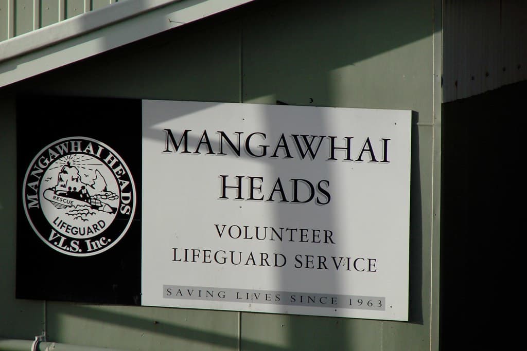
The patrolled beach is Mangawhai Heads Beach, the open surf beach. The Mangawhai Heads Surf Life Saving Club is at 149 Wintle Street, Mangawhai Heads.
The club says its main patrolled area is normally set up at the most popular part of the beach, close to the clubhouse. It also says it watches the full length of the beach and the harbour entrance.
Lifeguards put the red and yellow flags in the safest place to swim. Surf Life Saving NZ says they keep watch over people swimming between the flags. Swim between them.
When patrols run (2026-27)
These are the hours Surf Life Saving NZ publishes for Mangawhai Heads.
Volunteer lifeguards, every Saturday, Sunday and some public holidays:
- 24 October to 6 December 2026: 11am to 4pm
- 12 December 2026 to 21 February 2027: 11am to 5pm
- 27 February to 29 March 2027: 11am to 4pm
Times as Surf Life Saving NZ lists them. Check the club page or Safeswim on the day, as patrols can change with the weather.
Regional Guards, Monday to Friday and some public holidays:
- 14 December 2026 to 12 February 2027: 10am to 6pm
Outside these hours there are no lifeguards on the beach. Plans can change with weather and surf, so check the live patrol status on Safeswim on the day. The club itself points people to Safeswim for patrol hours.
How to spot a rip
Safeswim lists rip currents as a hazard at Mangawhai Heads and describes them as able to "sweep swimmers out to sea".
Surf Life Saving NZ gives these signs of a rip:
- "Calm patches in the surf with waves breaking on each side." The calm gap can look like the safest place to swim. It often is not.
- "A ripple pattern on the sand or small holes beneath your feet in the water."
- "Discoloured or foamy water, or debris moving out to sea."
SLSNZ also says permanent rips often form near barriers such as headlands, rocks and man-made structures. At Mangawhai, Safeswim flags the rock groyne at the southern end of the beach for extra care.
If you are caught in a rip, SLSNZ's advice is the 3Rs:
1. Relax and float to conserve your energy.
2. Raise your hand to signal for help.
3. Ride the rip until it stops, and you can swim back to shore, or help arrives.
SLSNZ says a rip will not pull you under. Don't try to swim straight back against it.
Where the calmer water is
The estuary on the harbour side is usually calmer than the surf beach, according to Safeswim. It names a sheltered beach opposite the motor camp as generally safe for swimming.
Calmer does not mean safe at every tide. Safeswim says tidal currents and changes in depth are the common hazards, especially near the edge of the tidal channel, and that they change as the tide rises and falls. There is no lifeguard service in the estuary.
Surf Life Saving NZ explains that rip tides, unlike surf rips, are caused by the tide and typically occur as water rushes through estuary and inlet entrances when the tide changes. Stay well away from the harbour entrance. Safeswim says extreme care is needed there, and that the Mangawhai Bar is an incident blackspot for boats.
Check the tide times before you go, and keep away from the channel edge.
Water quality after rain
Water quality can change quickly. Safeswim says it is often worst during and after heavy rain, because rain washes pollution into waterways and can trigger wastewater overflows.
LAWA advises: "Avoid swimming for at least 2-3 days after heavy or prolonged rain, even for sites that have good water quality."
To check a spot:
1. Open the Safeswim page for the surf beach or the estuary and look at the pin colour.
2. Cross-check LAWA for the surf beach site or the estuary site. Northland Regional Council monitors both.
What the colours mean, per Safeswim: a green pin means the risk of getting sick from swimming is less than 2%. A red pin means the risk may be much higher because of stormwater or overflows. A black pin means wastewater is present.
LAWA says water is regularly tested over the warmer months, November to March, in most regions, and that popular sites are usually tested weekly in that season. Predicted results are available year-round for Northland. A grey LAWA icon means the monitoring data is over two weeks old.
Tides
Tide times shift every day, so this page does not list them. Use one of these:
- MetService tides for Mangawhai Heads, for the next few days.
- Safeswim, which shows tides alongside water quality and patrols. Safeswim says its tide data comes from NIWA.
- Northland Regional Council tide tables, a free 2026-2027 PDF that lists Mangawhai. NRC notes the data comes from Land Information New Zealand.
- LINZ tide predictions, the national source.
Check whether a table is in NZ standard time or daylight time. Daylight saving runs from 27 September 2026 to 4 April 2027, per NRC. LINZ says its predictions are adjusted to daylight time when it applies, and that weather can affect actual tides.
For surf and swell, see MetService surf for Mangawhai Heads.
The harbour entrance and the sandspit
Safeswim says extreme care should be taken in and around the river mouth and harbour entrance. It calls the Mangawhai Bar an incident blackspot and advises seeking local boating advice before crossing.
The sandspit between the harbour and the sea is under pressure. RNZ / Local Democracy Reporting reported in March 2026 that the spit is critically thin, with experts warning of a high prospect of another breach within 15 years. It last breached in 1978, RNZ reported in June 2025. These reports were about long-term risk, not a current breach or a swimming warning. If the entrance changes, conditions in the harbour may change too, so check Safeswim for current hazards.
Kids
- Swim between the flags, during patrol hours. Surf Life Saving NZ calls this the safest place to swim.
- Learn to float first. Safeswim says: "If you don't know how to float, don't go into the water." Floating is also the first thing to do in a rip.
- Watch the shorebreak. SLSNZ says waves that break right on the beach can be particularly hazardous to children.
- Watch for holes. SLSNZ says the inshore hole, a deeper area of seabed, is one of the major problems for small children.
- Leave the inflatables at home on windy days. SLSNZ warns an offshore breeze can sweep you or your children out to sea very quickly, even on calm beaches.
- The estuary is not patrolled. It is usually calmer, but the tidal channel can be deep and fast. Stay with children in the water there.
In an emergency
Surf Life Saving NZ says: "In an emergency, call 111 and ask for the police."
Safeswim gives the same advice: "If someone in the water is in trouble dial 111 and ask for the Police."
If you are the one in trouble, float, and raise your hand to signal for help.
Questions people ask
Is Mangawhai Heads Beach patrolled?
What time are the lifeguards on?
Is the Mangawhai estuary safe for kids?
Can I swim at Mangawhai after rain?
How do I check today's water quality at Mangawhai?
Where do I find Mangawhai tide times?
What number do I call if someone is in trouble in the water?
Is it safe to swim near the harbour entrance?
Sources
- 01Safeswim: Mangawhai Heads (location page and its data feed, /api/locations/mangawhai-heads)
- 02Safeswim: Mangawhai Heads Estuary (location page and its data feed, /api/locations/mangawhai-heads-estuary)
- 03Safeswim: Frequently asked questions
- 04Safeswim: Beach safety
- 05Surf Life Saving NZ: Mangawhai Heads SLSC
- 06Mangawhai Heads Surf Life Saving Club
- 07Surf Life Saving NZ: Stay safe
- 08Surf Life Saving NZ: Rips
- 09Surf Life Saving NZ: Beach safety messages
- 10Surf Life Saving NZ: Waves
- 11Surf Life Saving NZ: Holes
- 12Surf Life Saving NZ: Inflatable toys
- 13LAWA: Can I swim here?
- 14LAWA: What do the swim icons mean?
- 15LAWA: Mangawhai Heads Beach Surf Club
- 16LAWA: Mangawhai Heads Estuary Motor Camp
- 17Northland Regional Council: Northland Tide Tables
- 18Northland Regional Council: Tide Tables 2026-2027 (PDF)
- 19LINZ: Tide predictions
- 20MetService: Mangawhai Heads tides
- 21MetService: Mangawhai Heads surf
- 22RNZ / LDR: Mangawhai sandspit breach 'urgent reality' within next 15 years (24 March 2026)
- 23RNZ / LDR: Mangawhai risks $100 million economic disaster if sandspit fails (16 June 2025)
Rules and numbers change. If something here is out of date, the linked source is the one to trust, and we’d like to hear about it.